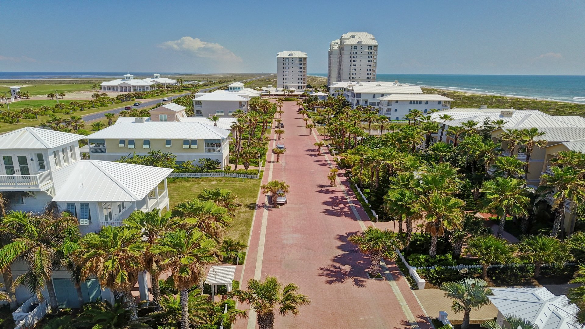
Just in case you didn’t notice, there are several things going on along our Texas coastal waters that you may find interesting.
As most of you know, the main highway leading to Port Isabel, South Padre Island, our bay and the Gulf of Mexico is Highway 100. It’s the primary way for vacationers, boaters, fishermen, birders and those seeking a good time to get to where the action is. It begins at Highway 83/77 between San Benito and Brownsville, goes through Los Fresnos and finally winds its way through Laguna Vista, Laguna Heights, Port Isabel and ends on South Padre Island.
I travel Highway 100 every weekday to my boat shop in San Benito and when the Texas Highway Department put up constructions signs and barriers along a stretch known as “La Curva,” I didn’t give it much thought. After all, that section of the highway that wanders through a wildlife refuge and ranch land was in good condition, well-paved and has a concrete center barrier that has made it much safer.
Once the construction got started was when I got curious and wondered what the heck were they doing? They removed the center concrete barrier in two sections and installed plain old steel guard railings. Then they erected chain link fencing along both sides of the highway, but with large gaps where the new guardrails had been installed.
My questions were answered when I asked one of my staff, who had been with us for many years but now only worked on his days off from his full time job with Texas Parks and Wildlife. While Mike wasn’t 100 percent sure, he said it was to funnel wildlife critters through the gaps in the fencing so that they could safely cross the highway through the open guard rails instead of becoming road kill. Besides the normal raccoons, opossum, deer, coyotes and other critters, Mike believed the primary animal it was intended to benefit was our endangered ocelots. Okay, now that makes good sense.
Another thing you may have noticed on that highway are the billboards by Texas Parks and Wildlife that state that uprooting and/or disturbing seagrass is illegal. For some boaters who don’t understand this new law and disregard it, it could empty their wallets in a heartbeat! The seagrass is to our coastal waters what the declining coral reefs are to the oceans. They both offer habitat for many types of sea life and a place to forage for food and raise their young. Without coral reefs the oceans will die and become toxic, and in a short time all life on this planet would disappear. But seagrass is vitally important for a completely different reason and that is that seagrass produces three times as much oxygen as an equal amount of any other plant, tree or bush. So, the next breath you take may have come from seagrass.To prevent further destruction of our coastal sea grasses, TPW recommends that every boater know the draft of their boat and to learn about the various areas of the waters that they navigate, knowing where it’s shallow and where it’s deeper. When in shallow waters LIFT YOUR MOTOR, and either DRIFT, POLE or TROLL (trolling motor) to deeper waters before taking off. Just in case you think that there aren’t enough wardens to spot your boat doing a donut hole shot in the mud and grass or running through the shallows churning up the fragile seagrass, think again. You see, you can be reported by any other concerned boater that happens to see you doing this, and with a first offense fine of $500.
If you’ve been out on the bay fishing lately you couldn’t help but notice that we’re experiencing extreme low tides. It’s the “MONTHS WITH A ‘J’ EFFECT,” meaning that January, June and July are when we see the lowest of low tides because of the positions of the moon and sun. The months with a J have always been very accurate for predicting low tides, but after the 2008 tsunami and major earthquakes around the world that tilted our planet a couple degrees off its normal tilt, these low tides weren’t always on time, until now. Evidently our planet’s tilt has corrected itself and we’re back to normal except that this year we are experiencing several months in a row that have what is called “Super Moons,” when the moon is closest to our planet. Because of this you can probably expect severe low tides, especially on two tide days, into August and possibly September. To avoid becoming stranded during these low tides or potentially getting fined for disturbing the seagrass you’ll want to check the tide charts and times of high and low tides before heading out. Using a graph type tide chart is best because it can show you how quickly the tide will recede, because sometimes it’s like someone flushed the toilet and the water disappears in minutes. Also, be aware of the winds and their directions as this can cause the waters to go out even faster when the wind and current are going in the same direction.
Finally, if you boat and fish far away from the SPI or Port Mansfield jetties, keep in mind that the tide change takes much longer to effect areas like Arroyo City, Gas Well Flats, Rattlesnake Bay and the drum boats. Since it’s very difficult to predict when these areas will be at low or high tide, you’ll just have to stay alert and use common sense.
AS ALWAYS, STAY SAFE & HAPPY BOATING!!!
W. D. “DOC” Gagan


