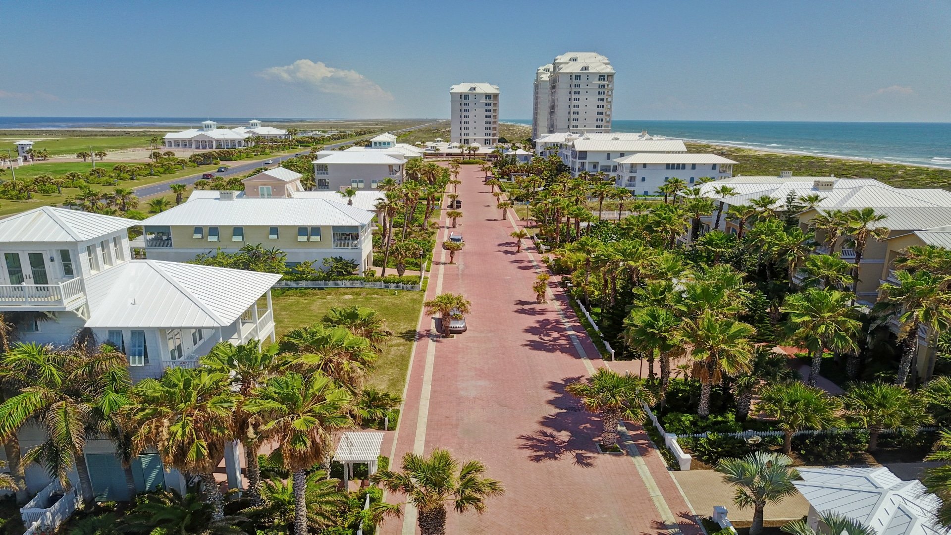
The third of four new “Sentinels of the Coast” data collection stations was installed Sunday, Nov. 9, at Brazos Santiago Pass on South Padre Island.
Crews reportedly started by lifting and driving the 140-foot-long pile into the sea floor. Lifting the top section of the structure onto the pile is expected as soon as the pile is installed.
“This sentinel, the one installed last week near Freeport and the two other systems that will be installed over the next several weeks will be added to the list of 29 existing Texas Coastal Ocean Observation Network (TCOON) stations that give Texas the most extensive coastal monitoring network in the country.” James Rizzo, assistant director of operations for the Conrad Blucher Institute of Surveying and Science at Texas A&M University Corpus Christi, said before the installation.
“The TCOON will have a monitoring station at all six major inlets on the Texas Coast that will provide near real-time weather and water level data, a network that is the envy of coastal states in the county,” Rizzo added.
These sentinels, along with the other TCOON stations, provide continuous water level and weather data that helps coastal communities better prepare for severe weather by providing accurate data that increase accuracy of forecasts that can save lives and property.
The Sentinel of the Coast structures consist of a single pile-140 feet long with a 48-inch diameter- driven into the seafloor and an instrumentation platform located 32 feet above Mean Sea Level. Each structure is rated to withstand the forces of a Category 4 Hurricane with an 18 foot storm surge, 10 foor high wave, and winds 100 plus miles per hour. The high-tech instrumentation will be installed to the National Oceanic and Atmospheric Administration standards.
The CBI oversees design, construction, and installation of each structure on the Texas Coast. Once the sentinels are erected, CBI will install equipment and initiate operation and data collection from these new monitoring stations that will be incorporated into the TCOON. See an interactive map of the network at cbi.tamucc.edu/TCOON.
The new stations are expected to be online by June 2016.
Contractors were scheduled to move to the Matagorda Ship Channel near Port O’Conner, Texas, for the next installation.
“These new stations will allow us to monitor conditions before, during, and after a hurricane has made landfall,” said Rizzo. “The data will be used by local National Weather Service and National Hurricane Center personnel for monitoring current conditions and as input into forecast models. The data will be an invaluable resource to local, state, and other federal agencies during storm events.”
The project is possible through a $2 million grant awarded to CBI from the Coastal Impact Assistance Program administered by the U.S. Department of Interior through the U.S. Fish and Wildlife Service, managed locally by the Texas General Land Office.
Rizzo says that after the storm, the information will be used by numerous agencies as they assess damage along the Texas coast and the adjacent waterways. The stations will provide accurate, real-time water level, wind speed, direction, and gust information, barometric pressure and temperatures.
“This data will also assist scientists and researchers in improving models related to storm conditions and their efforts on the Texas Coast,” said Rizzo. “The accuracy of these forecasts is what saves lives.”
CBI completed the installation of two identical data collection stations in 2011, which are located at the Texas Point on the Sabine River and at the Galveston Entrance Channel North Jetty.
Since 1989, the CBI has provided real-time meteorological information essential for predicting and measuring water levels throughout the TCOON. In all, there are currently 29 monitoring stations along the Gulf Coast.


